GVO MARINE ELECTRONICS-Fresh & Saltwater
MARINE ELECTRONICS FOR FRESH & SALTWATER: We Have Fishfinders and Accesories-GPS-Radios Ice Fishing-Trolling Motors-Fishing Charts & Maps-Parts- Lowrance- Garmin-Humminbird-Icom-Uniden- Standard Horizon and More
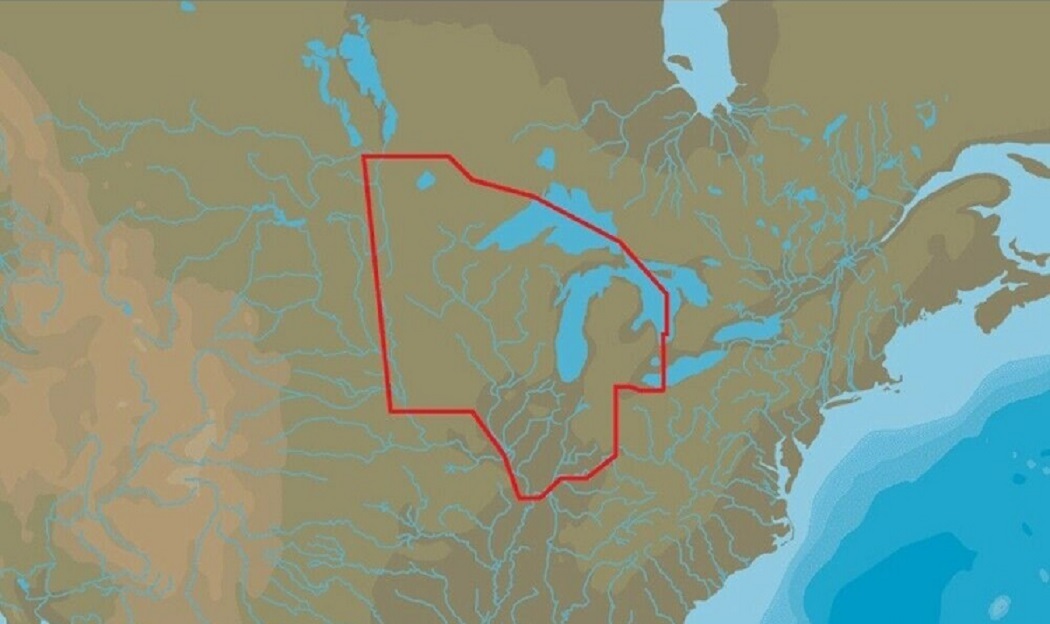
LOWRANCE US LAKES: NORTH CENTRAL MAX-N+ With Marina Info & Port Services
$169.90
DISCOUNTS
This item has been added to your cart
 LOWRANCE US LAKES: NORTH CENTRAL MAX-N+ With Marina Info & Port Services added to cart.
Only one available in stock
LOWRANCE US LAKES: NORTH CENTRAL MAX-N+ With Marina Info & Port Services added to cart.
Only one available in stock
View Cart or continue shopping.
 Please wait while we finish adding this item to your cart.
1
of
6
Item details
Condition
New
Features
Sport Fishing data
UPC
9420064103560
About this item
GVO Marine Electronics:
We provide reliable, safe online shopping 24 hours a day, 7 days a week throughout the U.S. and the world. We are strongly committed to providing our customers with top quality merchandise and world class service.
Model 84300
M-NA-Y072-MS
When you choose C-MAP you can count on accurate, up-to-date charts from official sources worldwide, advanced features, and C-MAP's commitment to safe navigation. C-MAP MAX-N+ cartography brings the majority of the C-MAP 4D content and many of its features and functions to selected navigation systems, combining accurate, up-to-date global chart data with features designed specifically for avid anglers, cruisers and sailors.
Features:
- High-Resolution Bathymetric (HRB) bottom contour/fishing charts to help anglers target fish-holding coastal and offshore structure more effectively
- Dynamic Tides & Currents predictions that help anglers determine the best times to hit productive rips, shoals, rocks and channels
- Aerial photos and worldwide database of Marina Info/Port Services great for cruisers, sailors, and traveling fishermen
- Sport Fishing Data for valuable information on wrecks/reefs, including composition, depth, orientation and other details anglers can use to fish more effectively
- High-resolution satellite imagery to enhance situational awareness and improve safety
- Dynamic Raster Charts for a traditional "paper chart" look with the ability to "pull up" information on important chart objects
- Shaded relief vector chart presentation highlights specific depth contours, valuable when cruising or fishing
GVO Marine Electronics: .
| Get the item you ordered or get your money back. |
| Covers your purchase price and original shipping. |